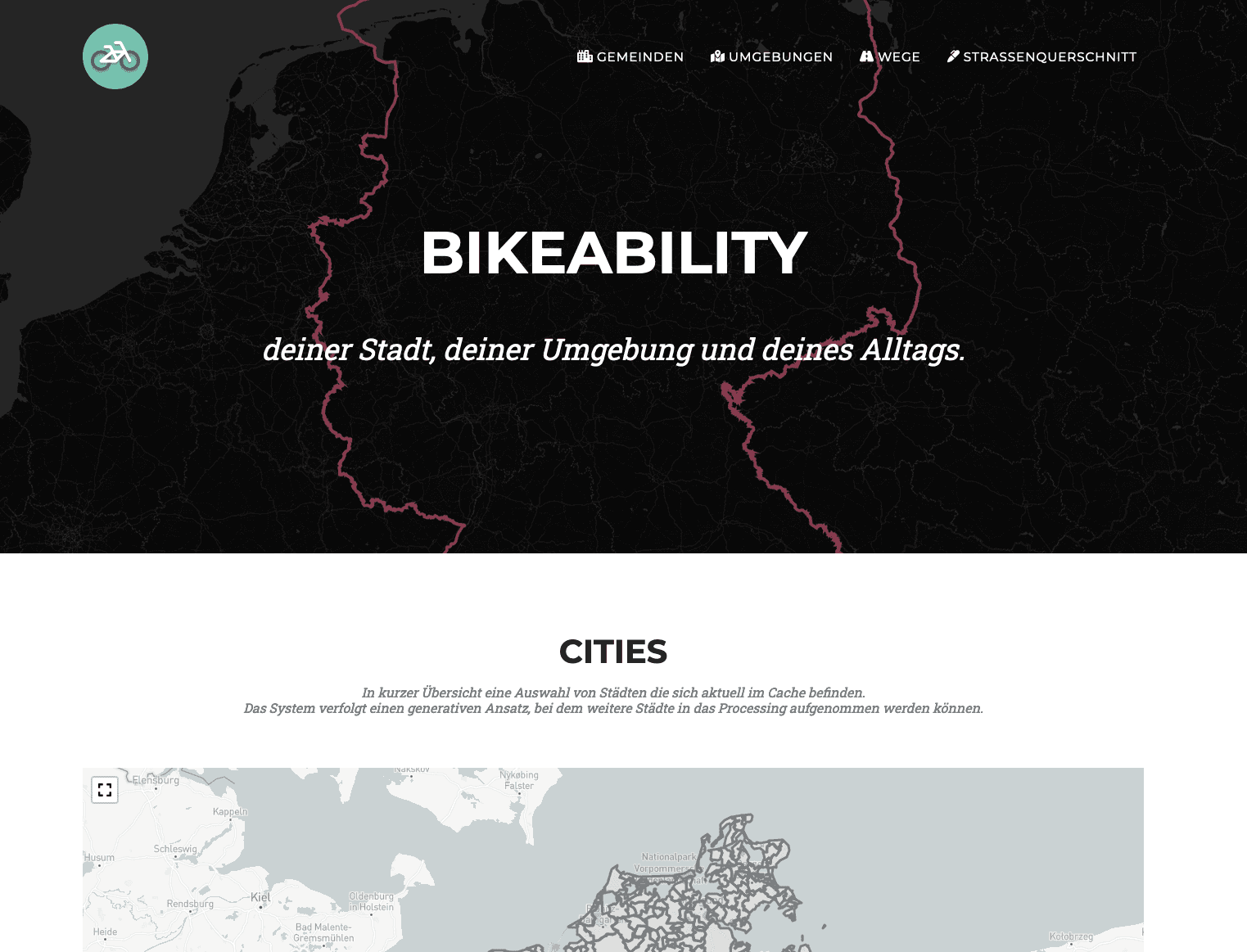
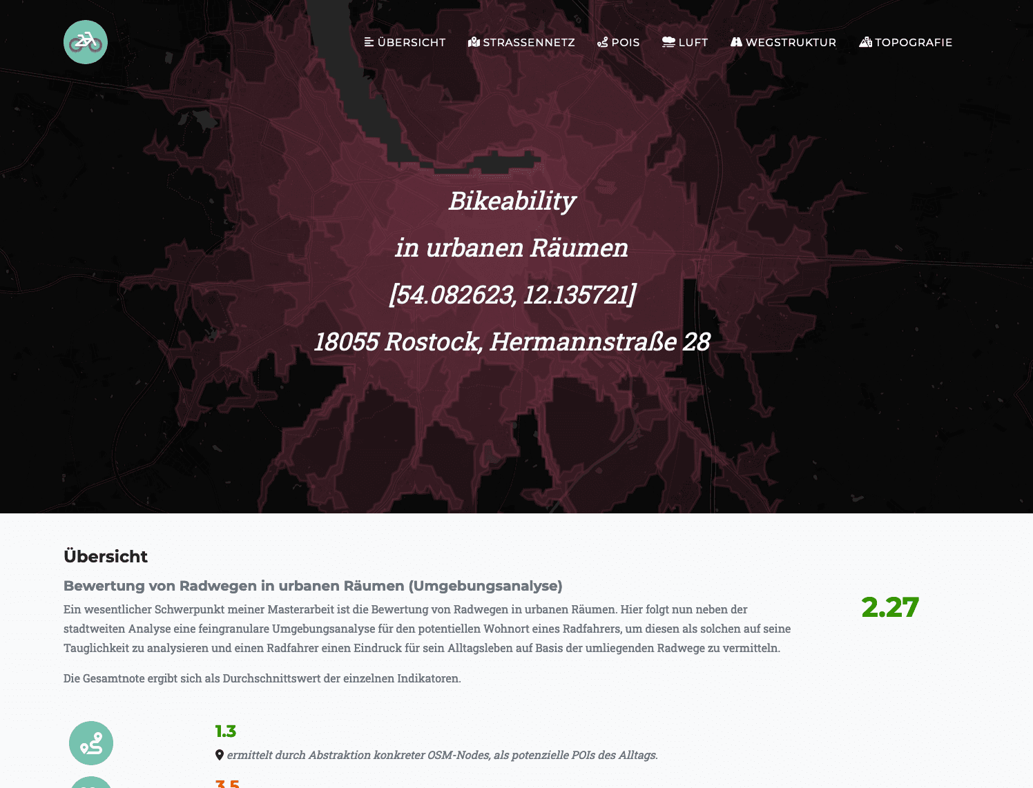
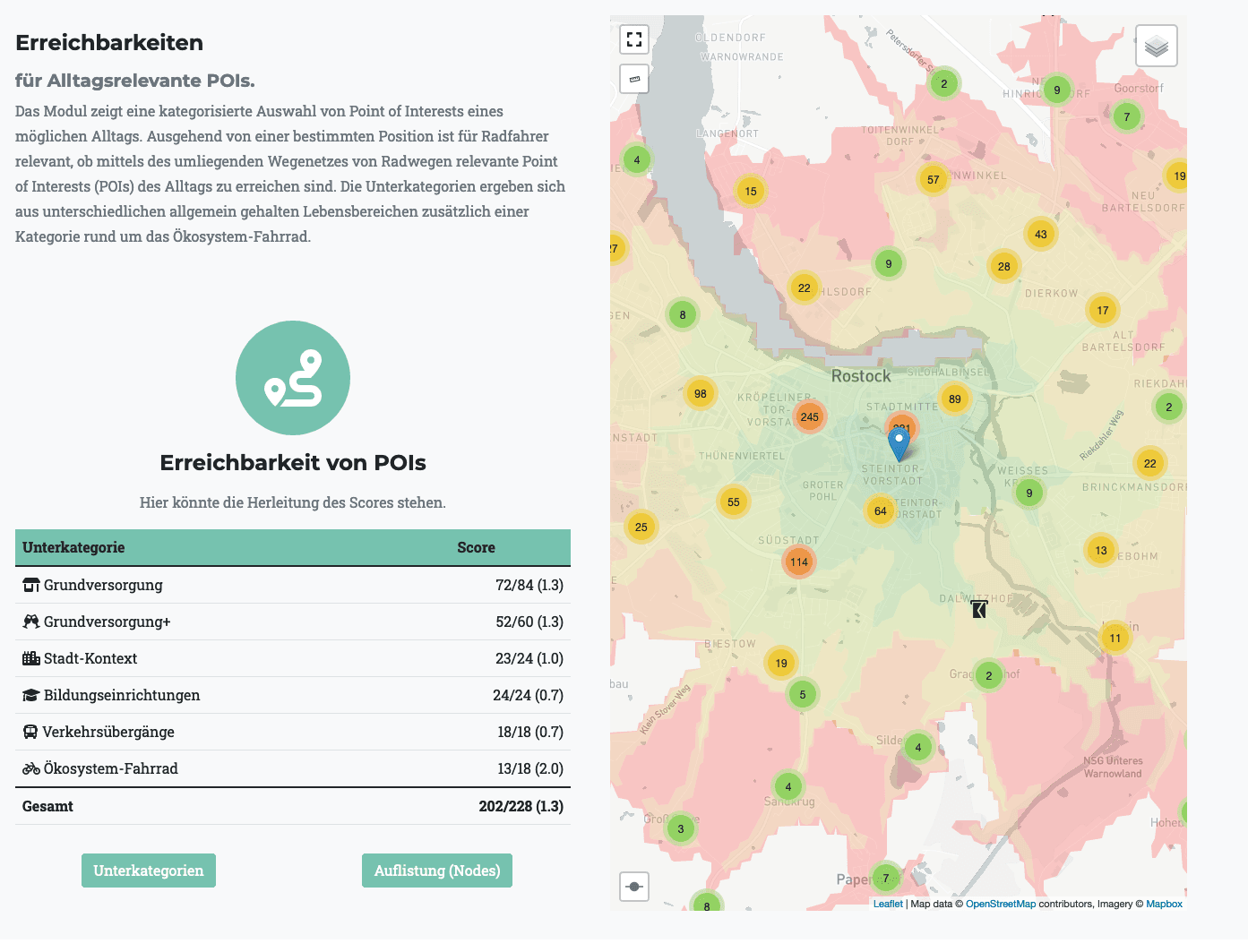
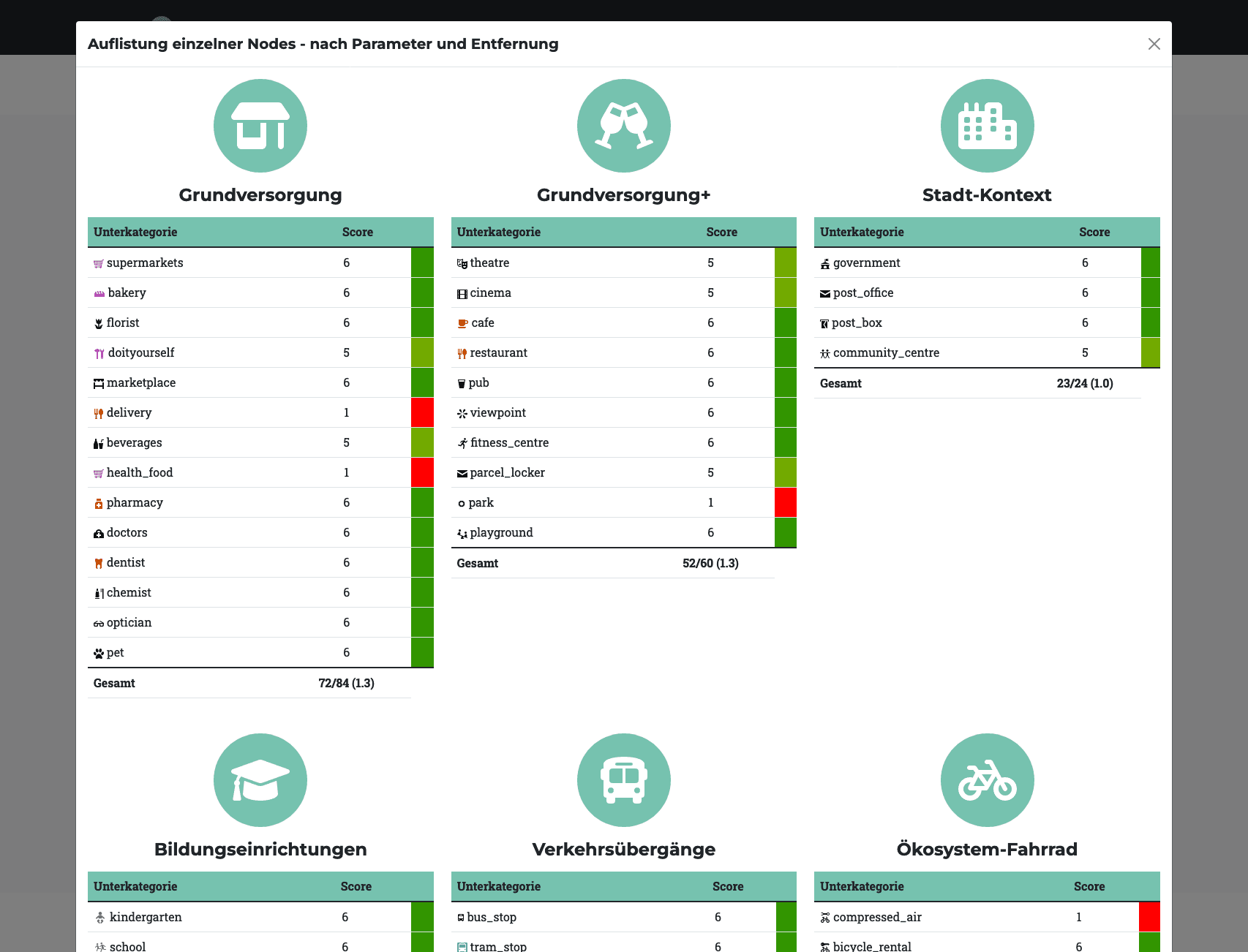
As a product of my master thesis, this platform is used to determine the bikeability of communities, environments and individual road segments. For this purpose, always up-to-date geodata sets are connected via open-source REST APIs of the OpenStreetMap project, evaluated, and subsequently presented in a descriptive way.
Examples for cities 🌇, environments 🏡 and individual path segments 🛣️.
⚙️️
Python, Django, PostgreSQL, TurfPy, QGIS, Valhalla, Docker
🖥️️
HTML, CSS, JS, ChartJS, Bootstrap, Leaflet